What is the Porcupine Abyssal Plain Sustained Observatory?
The Porcupine Abyssal Plain Sustained Observatory is a long running time series site, in the Northeast Atlantic Ocean.
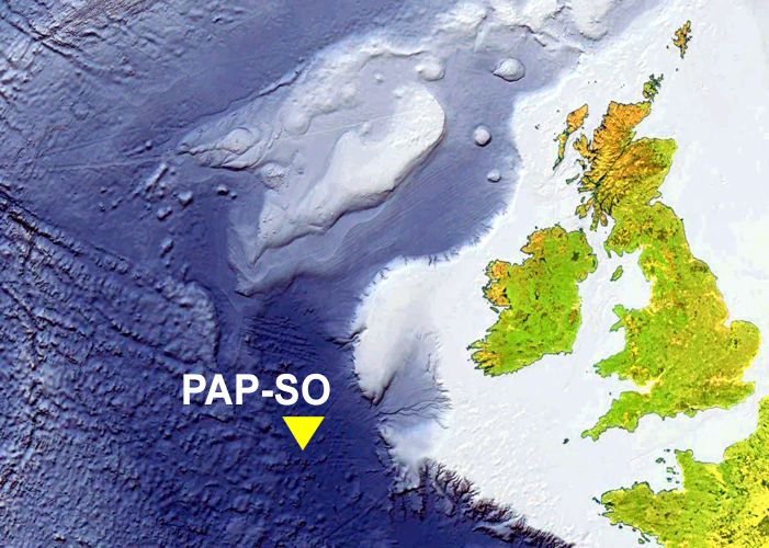
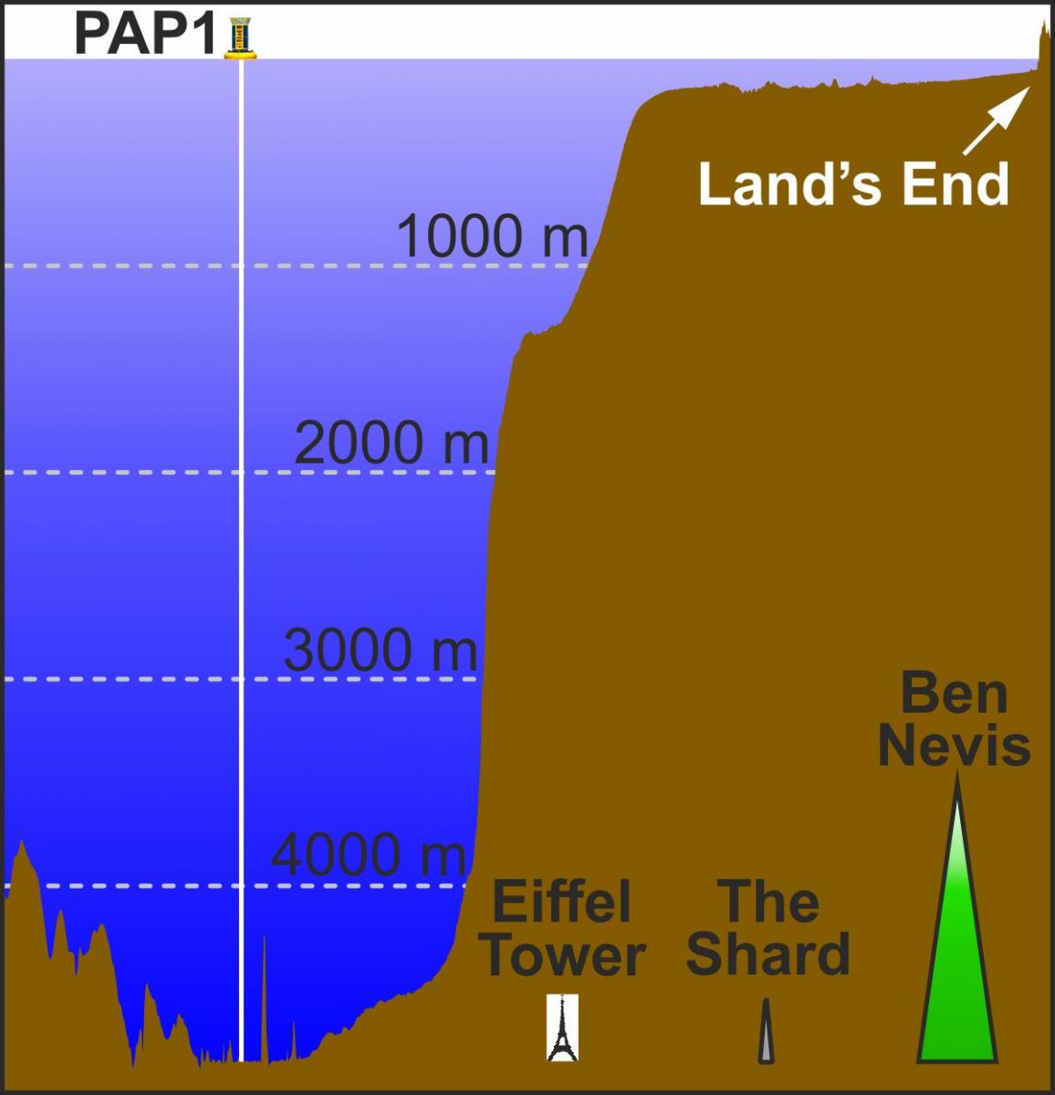
The map to the right shows the PAP-SO at 48° 50′ N 016° 30′ W, in 4,850m water depth, about midway between the European continental slope and the Mid-Atlantic Ridge, some 500km from the coast of Ireland.
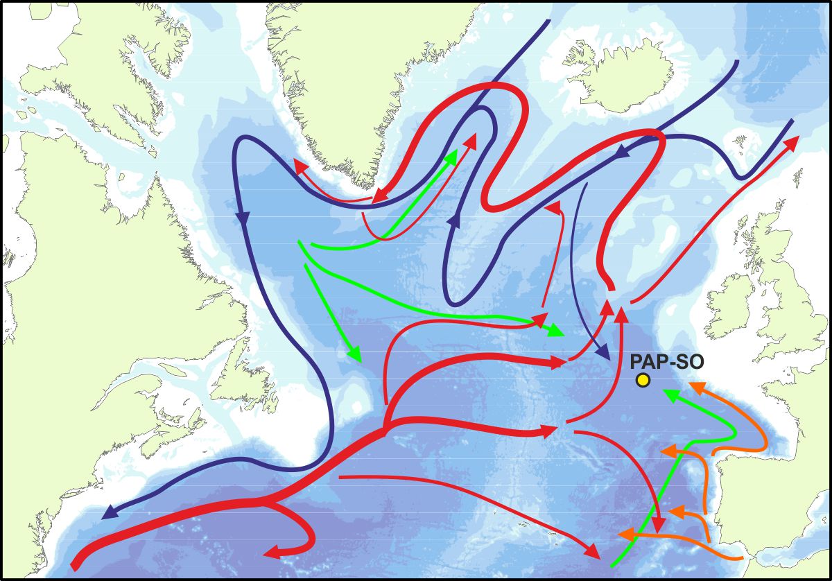
Our hybrid monitoring station includes multiple moored instrument systems, annual cruises, occasional use of autonomous vehicles and further observations and sampling by partners. These measurements have been made consistently since the 1990s providing a unique view for the past thirty years. More details are on our technology page.
Why do we observe the open ocean?
Observations of multi-decadal duration are essential for the detection of long-term change in the ocean and are key to understanding our varying climate. The PAP-SO demonstrates the importance of long-term records of ocean variables and processes (e.g., Hartman et al., 2021).
For example, observatory data have revealed increased seasonal variability in seawater CO2 and a decline in pH, driven by biological productivity (Macovei et al., 2020). Close to the abyssal seafloor (>3,000m depth), sampling of scavenging crustacean populations since 1985 has shown a major change in the dominant species that may be linked to upper ocean climate as assessed by the Atlantic Multi-decadal Oscillation – a 60–80-year cycle in sea surface temperature (Horton et al., 2021).
Even at 500km from land we find evidence of human impact from the obvious but local impact such as clinker and ships debris found on the seabed to the more subtle but large scale changes in CO2. From microscopic animals such as zooplankton to marine mammals, the PAP-SO offers us the opportunity to study on all scales.
We work with partners such as the UK Met Office to produce data essential to the UK science and the wider community on daily to decadal timescales.
Why “Porcupine”?
The name Porcupine is in honour of the naval survey vessel HMS Porcupine, that made three pioneering deep-sea research cruises to the west of Scotland and Ireland in 1869.