AtlantiS is delivering long-term data records of the highest priority essential ocean, biodiversity and climate variables. These include biogeochemistry, ocean circulation, sea level, marine surface temperature, species abundance and distributions, community composition, ecosystem structure and functioning, and the carbon, heat, salt and freshwater content of the ocean
Our outputs contribute to the permanent and international global ocean and climate observing systems (GOOS and GCOS), support national strategic priorities and underpin our research.
Mooring arrays and fixed-point observing systems:
Large-scale ocean circulation: The RAPIDand Ellett Arrays build on decades of measurements of North Atlantic circulation and property transports. The Ellett Array in the Rockall Trough at 57°N evolved from the former Ellett Line (since 1975) and is the eastern component of the OSNAP array observing the subpolar Atlantic Meridional Overturning Circulation (AMOC). Gliders will measure the European Slope Current, capturing exchanges between the deep ocean and shelf-seas. The Ellett Array is being expanded to observe currents in the Iceland Basin, capturing all the subpolar warm water pathways that influence UK weather and shelf-seas. The RAPID Array (started in 2004) observes the subtropical AMOC. Both arrays observe transport of mass, heat and freshwater through the continuous measurement of velocity, temperature and salinity, and provide platforms for additional instrumentation for estimating concentrations and transport of nutrients, carbon and oxygen. The ability to reproduce the AMOC and its variability is a critical test of coupled climate models.

Biodiversity and ecosystems: research into the impacts of human activity and basin-decadal scale oceanographic processes on marine systems will be underpinned by time series observations of water column biogeochemistry, seafloor biodiversity and sediment transport at four UK shelf and slope sites, three offshore Marine Protected Areas (MPAs) for which JNCC (Joint Nature Conservation Committee) have a role in monitoring and advice, and the Western Channel Observatory (WCO). AtlantiS will maintain the world’s longest running abyssal time series site at the Porcupine Abyssal Plain (PAP). The WCO (started 1903) and PAP have been regularly sampled for decades as part of the UK’s contribution to international long-term fixed-point observatory programmes. The three MPA sites have previously been sampled in partnership with Defra, JNCC and Cefas. The MPAs and PAP will be used as key sites for the development of autonomous and Artificial Intelligence (AI) approaches for environmental monitoring. The sites provide a coherent picture of temporal change and responses to and/or recovery from long term climate and direct anthropogenic impacts.
Repeated sections and surveys:
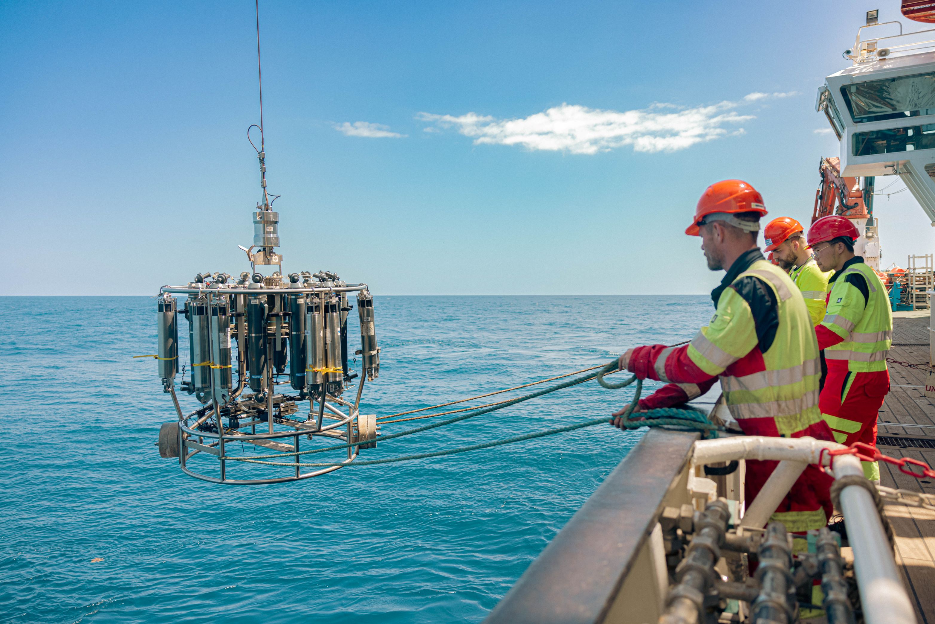
Atlantic surface to seafloor physics and biogeochemistry: AtlantiS delivers full depth hydrographic (GO-SHIP) sections at 57°N, 24°S, Drake Passage and 26°N; each section is surveyed once a decade. GO-SHIP sections are the only means to obtain full-depth measurements of temperature, salinity, oxygen, carbon, and biogeochemical parameters at the level of quality and resolution required for decadal trends. For the foreseeable future GO-SHIP is ‘gold standard’ for calibrating other globally distributed observations (e.g. Argo, gliders). The 26°N and 57°N sections complement the RAPID and OSNAP arrays for determination of carbon and nutrient transports.
Atlantic upper ocean biology and biogeochemistry: AtlantiS maintains the Atlantic Meridional Transect (AMT) which has for thirty years provided pan-Atlantic observations of the structure and biogeochemical properties of planktonic ecosystems. AtlantiS supports key transects as part of the Continuous Plankton Recorder (CPR) programme. The CPR provides basin-wide and long-term measurement of the ecological health of marine plankton and is the longest running and most extensive marine ecological survey in the world.


Global networks and data products
AtlantiS contributes to multiple international climate research initiatives including:

International Comprehensive Ocean-Atmosphere Data Sets (ICOADS): surface metrology underpinning climate projections, and longest instrumental record of marine climate change.
Global Sea Level Observing System (GLOSS): three climate-quality UK tide gauges, and the South Atlantic Tide Gauge Network in British Overseas Territories.
Permanent Service for Mean Sea Level (PSMSL): collation, quality control and making available global sea level change data and information from tide gauges around the world.
One-Argo: international observations of temperature, salinity, biogeochemistry in the top 2000m (core and BGC Argo), and temperature and salinity below 2000m (deep Argo).
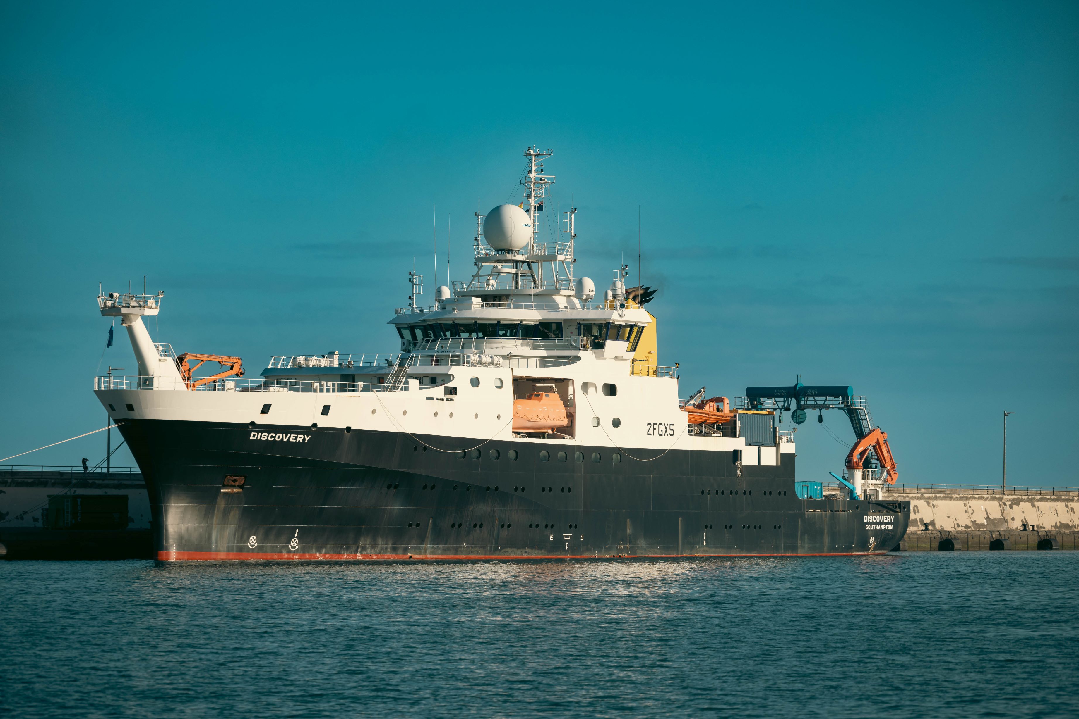
Underway surface pCO2: the highest quality pCO2 data collected from instruments installed on RRS Discovery and RRS James Cook.
Evolution of the sustained observing network
Through sensor technology and observing platform development AtlantiS is enabling a transition to new and improved ocean observing configurations. At Ellett Array, PAP, the MPA’s, RAPID, AMT and WCO, the use of autonomous vehicles and deployment-ready new sensors are being evaluated to ensure an improved and smart observing system for 2030 and beyond. AtlantiS facilitates the ongoing development of sensors by providing test deployment opportunities. Building on the development of telemetry systems for subsurface moorings in CLASS and RAPID-Evolution project, by 2029 AtlantiS will deliver moored data to stakeholders earlier than is possible today. Methodological changes require associated development, working with BODC, of data systems and data science for all data types, such that there is an efficient, consistent, and reliable pathway of data and metadata from sensors to data centre, researchers and other users, following the FAIR principles (Findable, Accessible, Interoperable, Reusable).